Side Scan Sonar
Using high-frequency sonar pulses to generate high-resolution seafloor imagery which can be used for the mapping of both natural features and seafloor debris.

Applications
- Seafloor mapping
- Hazard identification
Method
The Side Scan Sonar method uses high-frequency sonar pulses to generate high-resolution seafloor imagery which can be used for the mapping of both natural features and seafloor debris.
Data Analysis & Presentation
Analysis of the collected SSS involves manually reviewing data imagery to delineate surface materials (e.g. surface gravels, rocks) or to identify seafloor hazards such as wrecks, waste material or remnant infrastructure.
Featured Work
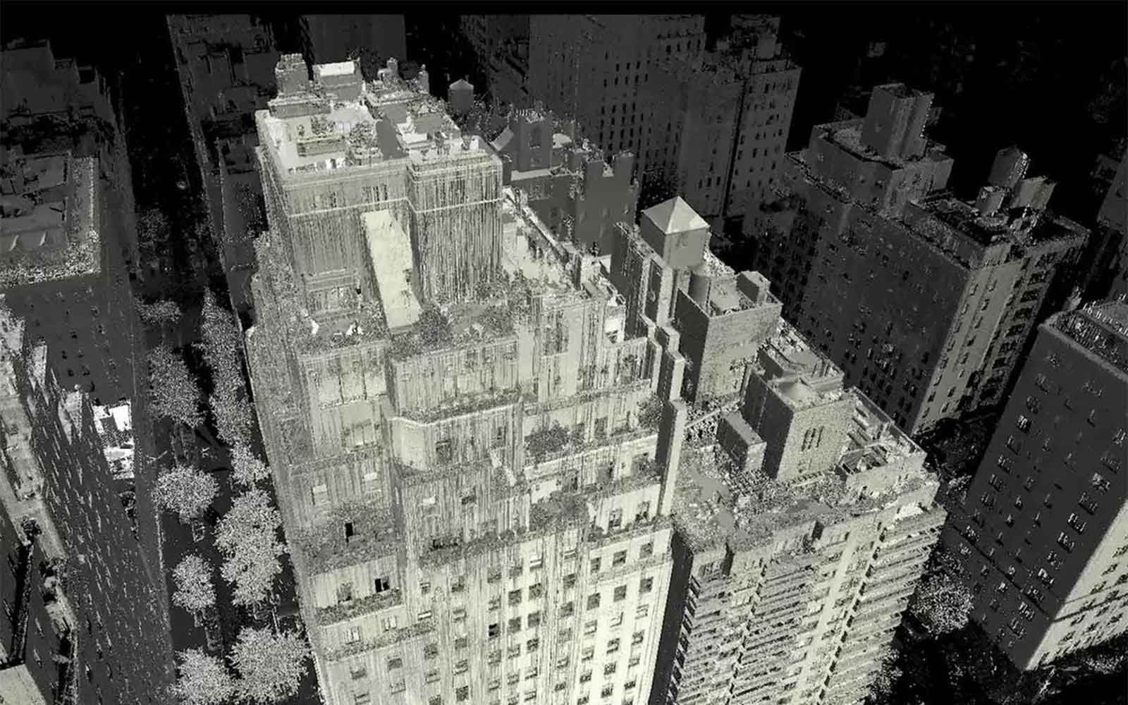
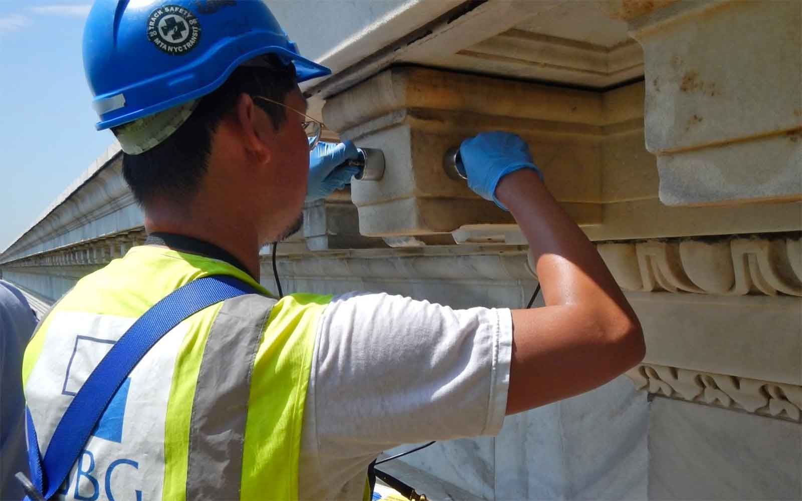
GBG investigates a wide range of structures from historically significant buildings to small private residences.
Enquire Now
Complete the form below, call us at +1 212 777 3770 (New York office), +1 805 393 2021 (Boulder CO office) or +1 310 745 9301 (Los Angeles office). A member of the team will respond ASAP to discuss your requirements.
Please note: GBG Group is compliant with the General Data Protection Regulation (GDPR). To learn more about how we collect, keep, and process your private information in compliance with GDPR, please view our privacy policy. *


